Welcome!

Thank you for visiting The Haley Hiatus, aka Travels with Barkley, where we're tracking our year-long 2010 travel adventure. We'll post pictures and journal entries as we travel the country by a wandering route from Pennsylvania to, ultimately, Alaska and back. If our trip captures your interest, please stop in occasionally to see what we're up to.

Clicking on a photo will make it larger and clearer. For most of the pictures, once the bigger picture comes up, clicking on it again will make it even larger.


Showing posts with label Stone Sheep. Show all posts

Monday, August 23, 2010

Liard Hot Springs to Charlie Lake, British Columbia

July 25th, back on the road.

The last suspension bridge on the Alaska Highway:


Stone Sheep:


Buffalo:


Part of the Canadian Rocky Mountains, Sentinel Range is on the left, Peterson Mountain is in the center, and Terminal Range (the end of the Rockies) is on the right:


POISONOUS! Elegant Camas, also called Death Camas:


Stone Sheep:


Folded Mountain:


Caribou:


Summit Lake:


Four-parted Gentian:


Salmon and red Paintbrush:


POISONOUS! Monkshood:


Seed heads of a type of dryas, probably Yellow Dryas (if not, it's Mountain Avens):


Butterfly:


The Alaska Highway is constantly being repaired and kicking up dust.


Because there was no other choice in Fort Nelson, we stayed in Westend Campground (also called Triple G Hideaway RV Park). We were really packed in, with tight spacing side to side and RVs backed up to each other. We're trying to forget this one, so no picture.

July 26th, we drove to Charlie Lake Provincial Park.

Fireweed lining the Alaska Highway:


Our site at Charlie Lake Provincial Park:


The park was supposed to have wildflowers not found anywhere else. We didn't see those, but there were still some beautiful flowers.

Asters with moths or butterflies we couldn't identify - and a fly:


The same type of flying critters on another wildflower:


This type of clover has a wonderful, sweet fragrance.


POISONOUS! Baneberry plants will have white or red berries with black dots at the ends.


POISONOUS! Larkspur (this plant was about 5 feet tall):


Quite a raspberry harvest:


Resting our little buddy's leggies:


Back on the trail:


We were within 30 feet of a young male moose before we noticed him - after he snapped a twig. Alas, this is our best picture.


Roasting corn on the fire; mmm, mmm, good!


Monday, June 21, 2010

Iskut BC and Big Creek, Yukon Territory

On June 7th, we were back on the Cassiar Highway (BC Highway 37) and heading north. Just a few miles into the day's drive, we saw a large black bear run off into the woods. This is the Bell-Irving River. When we crossed it, Karen saw a mama moose with two babies in the shallow water near the bank. By the time we parked and hurried back to take this picture, they were gone.


The Bell II Lodge is a popular stop for fuel and lodging on this part of the Cassiar. Notice the grass roof in the third picture down.


The Burrage River, with rock pinnacles in the water and on the bank (on the right side of the picture):


We stayed at the Mountain Shadow RV Park in Iskut BC. Isn't it beautiful?


Bill and Barkley step into another dimension on the park's nature trail to Kluachon Lake.


A type of Bluebell:


Sandpipers:


Kluachon Lake:


Moose tracks:


A moose in the lake, as seen from our RV site (with a lens that doesn't have enough zoom):


A red fox in the field between our RV and the lake, on the morning of June 8th, before we headed north once more:


Marking the Arctic - Pacific Divide:


About 70 miles past the continental divide, a red fox carrying a squirrel ran across the road in front of us. We didn't get a picture of that, but we did get a few more wildflower pictures.


We think these are Stone Sheep. Bill did some quick maneuvering and braking to avoid hitting them.


It's raining again!


Common Loons at the Blue Lakes rest area:


Another gravel road, this one under construction:


About two miles after we crossed from British Columbia into the Yukon Territory, the Cassiar Highway ended and we turned west onto the Alaska Highway. Twenty-five miles later, we stopped for the night and found a fantastic site in the Big Creek Yukon Government Campground. It was a huge pull-through right above the creek.


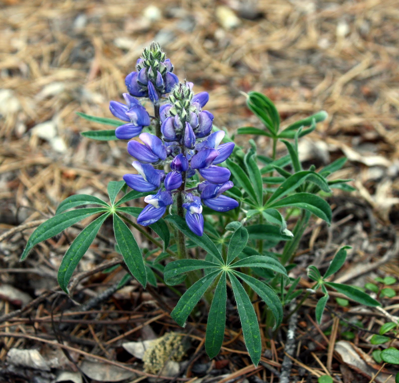
Lupines at our site: