Welcome!

Thank you for visiting The Haley Hiatus, aka Travels with Barkley, where we're tracking our year-long 2010 travel adventure. We'll post pictures and journal entries as we travel the country by a wandering route from Pennsylvania to, ultimately, Alaska and back. If our trip captures your interest, please stop in occasionally to see what we're up to.

Clicking on a photo will make it larger and clearer. For most of the pictures, once the bigger picture comes up, clicking on it again will make it even larger.


Showing posts with label Glacier. Show all posts

Saturday, August 7, 2010

Seward, Alaska Part 2

Still July 6th, we walked down the road from our RV park at 9 p.m. to see salmon coming up Bear Creek.


The weir on the other side of the road:


Barkley met two new friends at the weir.


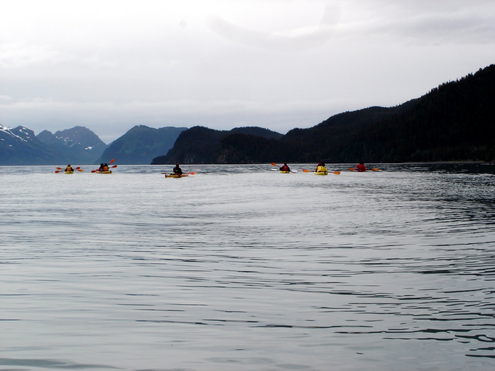
On July 7th, Bill took a sea kayak out in Resurrection Bay.


July 8th, on the road to Exit Glacier in Kenai Fjords National Park:


Information signs (and a later talk by a Park Ranger) informed us that glaciers are made of layers and layers of snow that compact under their own weight until most of the air is forced out and the compressed snow turns to ice. Glacial ice can grow to hundreds of feet deep. The pressure of the ice's weight actually melts a thin layer at the bottom of the ice, and the glacier slides on that thin film of water. As it moves, the glacier pushes along all the rocks - and huge boulders - beneath it, scratching striations into the bedrock. The rigid top layer of the glacier also cracks as the glacier moves, resulting in crevasses (many of which are more than 100 feet deep in Exit Glacier). Even though Exit Glacier has been shrinking since it reached its maximum length in 1815, its movement still provides a constant supply of gravel for the Seward area.

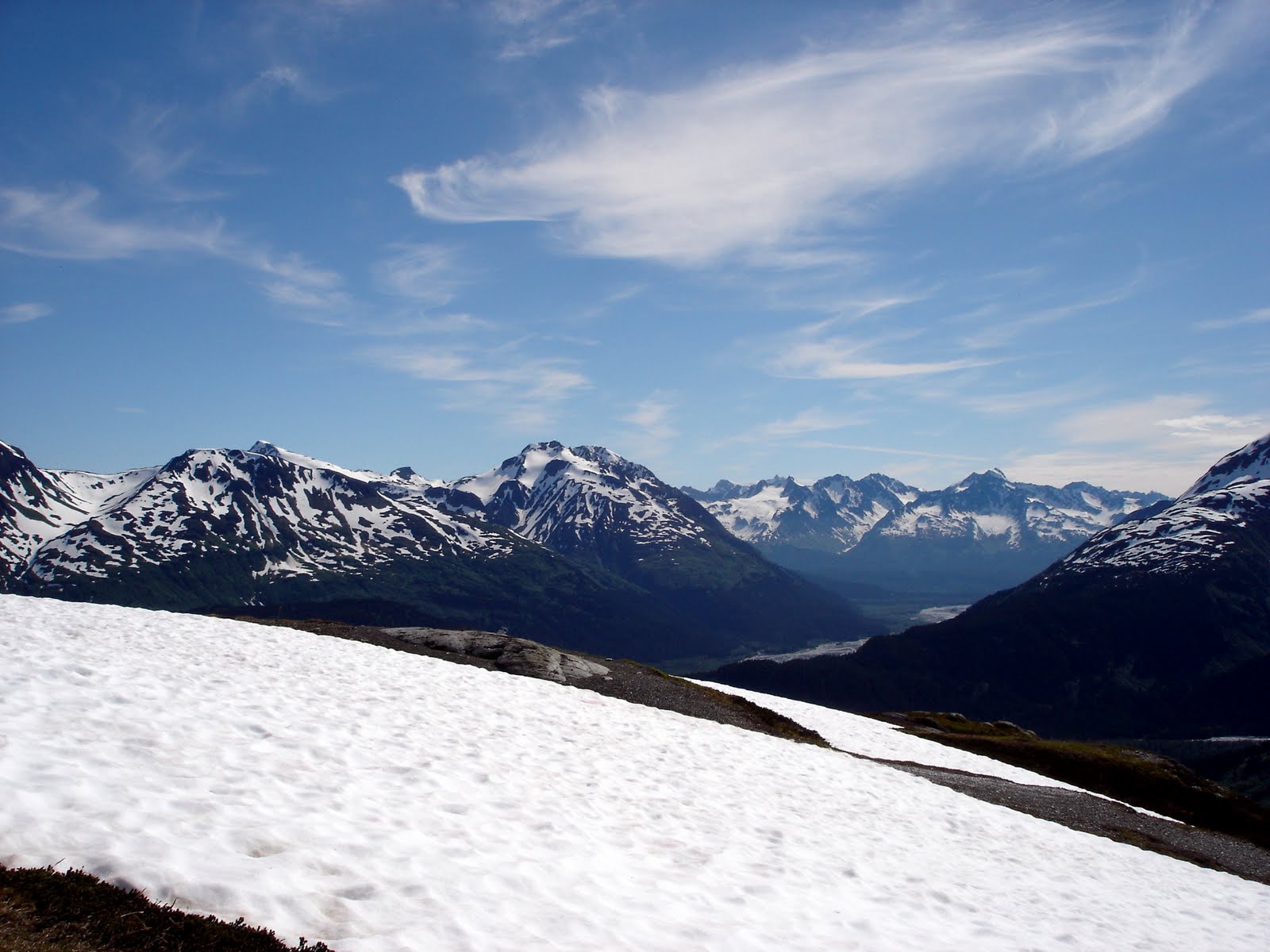
Here are a few pictures taken along the trail to Exit Glacier.

Western Columbine:


A type of wintergreen known as Pink Pyrola, which grows from the little round leaves:


The glacier:


Glacial silt and ice, with all rounded edges:


When light penetrates the glacier, all the colors are trapped, except for a beautiful shade of blue.


Striations in the rock caused by the movement of the glacier. As the glacier shrinks, more and more of this rock is exposed.




After the Exit Glacier, we went to the Alaska SeaLife Center on the bay. The center has puffins and other seabirds, a few harbor seals, various fish, a touch-me area with star fish, and a great gift shop. In the front flower bed:


These two little seals were brought to the center as orphaned babies. They spent quite a bit of time with their faces pressed against the floor and wall, and then they dove into the water and started playing.


A large display about 1989's Exxon Valdez oil spill estimates the numbers of animal deaths at 250,000 seabirds; 2600 sea otters; 300 harbor seals; 22 orca whales; and billions of salmon eggs, herring eggs, intertidal plants, and intertidal animals. While in Fairbanks, we watched a program on a Native American station about the spill. An elder testified after the spill about witnessing the deaths of many animals, including a sea otter which gouged its eyes out, trying to clear out the oil.

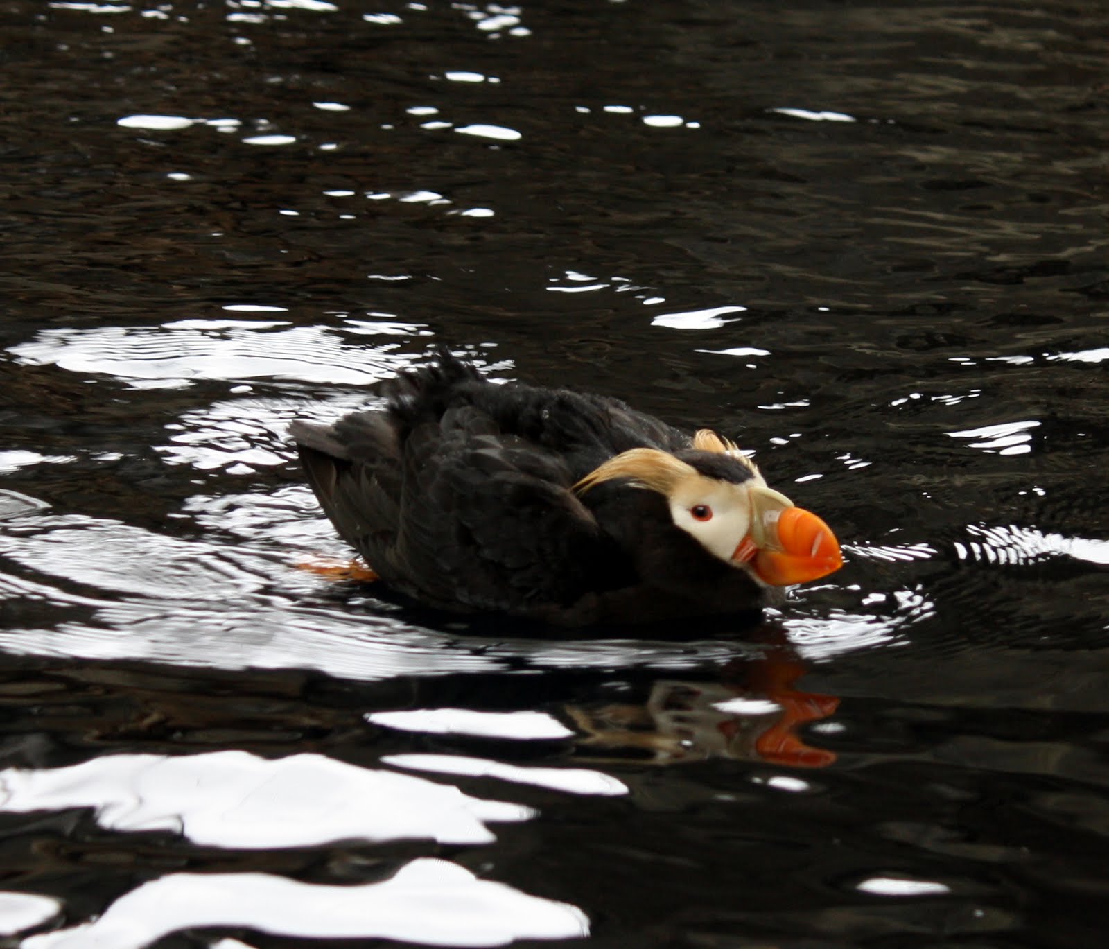
Tufted Puffins, looking a bit like Groucho Marx and sometimes pretending to be turkeys:


Harlequin Duck:


In downtown Seward, an escaped pet rabbit?


Harding Icefield is the parent of many glaciers in Kenai Fjords National Park. Bill hiked the strenuous 8 miles to the icefield and back on July 8th.


Hoary Marmot:


The trail is steep!


We wish we could remember the Native American term for these peaks sticking up through the ice. It means "Lonely Peaks."

Wednesday, July 14, 2010

Talkeetna and Mt. McKinley

On July 1st, we traveled from Byers Lake Campground to Talkeetna, but the trip started out a bit rough. As we started up the first little hill in the campground, the truck stopped pulling. Bill checked out various things, and the rig just wouldn't budge. So, he backed us up into a day-use parking area. Within a few minutes, a ranger stopped by, and he went and told the park host, Wayne. Wayne came immediately and happened to have a 2010 Ford pick-up, which he said had done some odd things. For one, the computer would indicate something was wrong, he'd turn the truck off and back on, and everything would be fine - like the computer was learning. True enough, the same thing happened to us. After unhooking the trailer and hooking it back up, all was fine. Our phone had no service, so just in case something went wrong with the truck, Wayne followed us 10 miles down Parks Road to the state park's Denali Viewpoint South. All was well!

Bill and Wayne at Denali Viewpoint South (where it was so cloudy, we only saw a tiny part of Mt. McKinley):


Also at Denali Viewpoint South, Brad Mims from Memphis, Tennessee loved Barkley (and so did his dad, Darrell).


Talkeetna is a cute little town with a general store, restaurants, cafes, arts shops, gift shops, and several places to buy specialty ice cream. We walked around town several times, but it was a bit too rainy to take pictures. An arts and crafts festival was held over the weekend, and the turnout was fairly good, despite the rain. We bought several jars of delicious homemade jam in fireweed, wild blueberry and cranberry, and rhubarb. Mmm mmm good!

Sightseeing trains behind Talkeetna Camper Park, where we stayed:


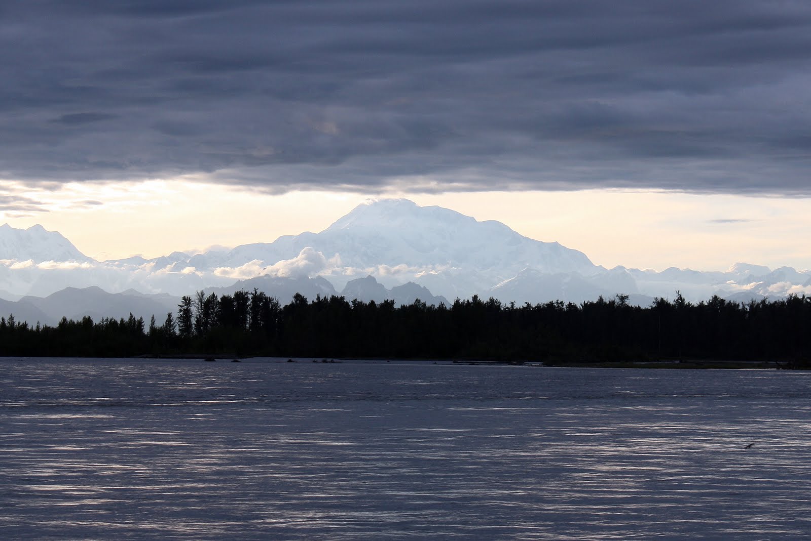
At 10:30 p.m., a nice RVer told us to get down to the river to see Mt. McKinley, so we high-tailed it down there, and McKinley was out! We finally joined the 30% club, consisting of tourists who get to see the full mountain.

Mt. McKinley from the Susitna River:


Mt. McKinley behind Bill and Barkley:


Sue, in awe of the mountain:


Mts. Foraker, Hunter, and McKinley:


Fortune was with us on July 2nd, as we walked to Talkeetna Airport for our flightseeing tour of Mt. McKinley. The sun was shining!

Sue with the Fly Denali office cat:


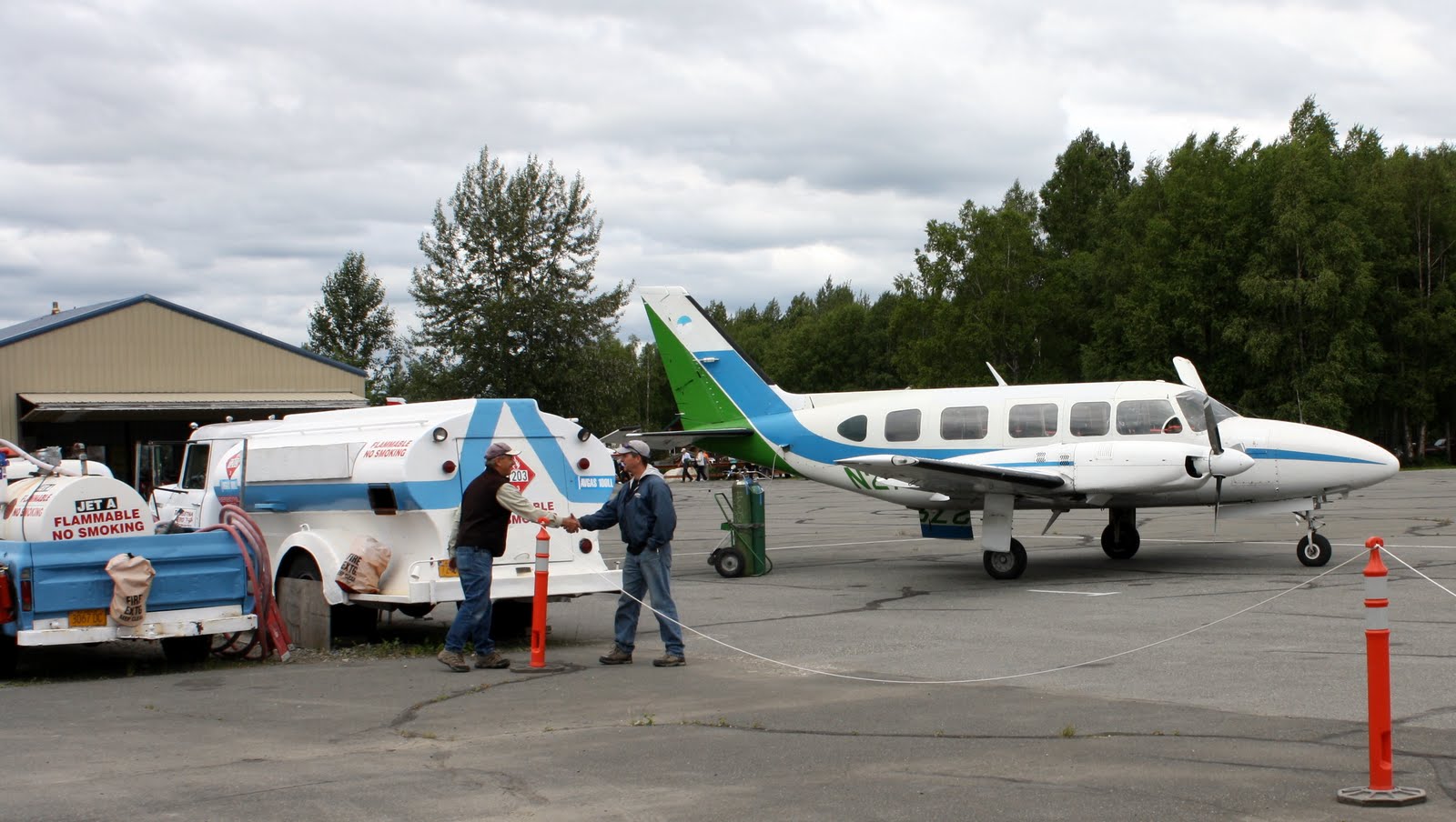
Bill meeting the pilot, Dave, and checking out the plane before our flight:


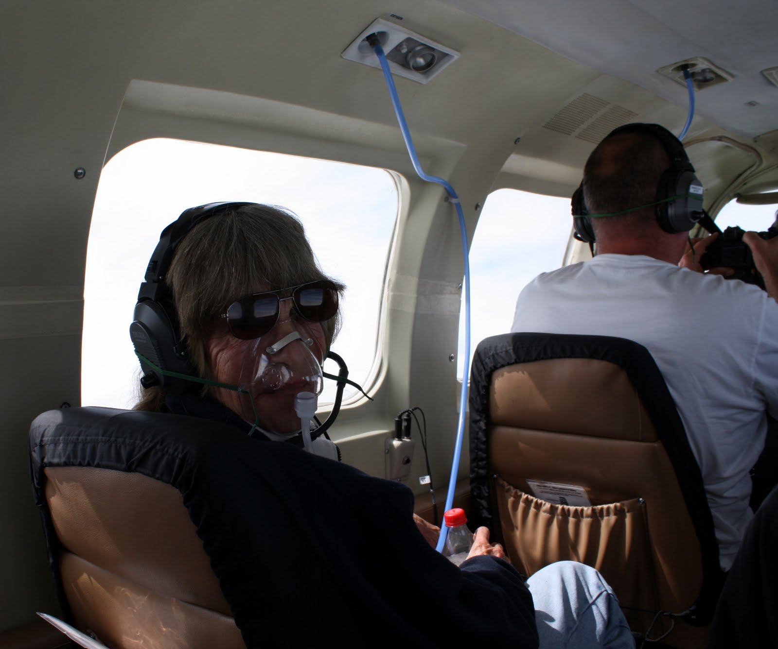
Since we were flying over Mt. McKinley, we had to use oxygen. Here's Sue.


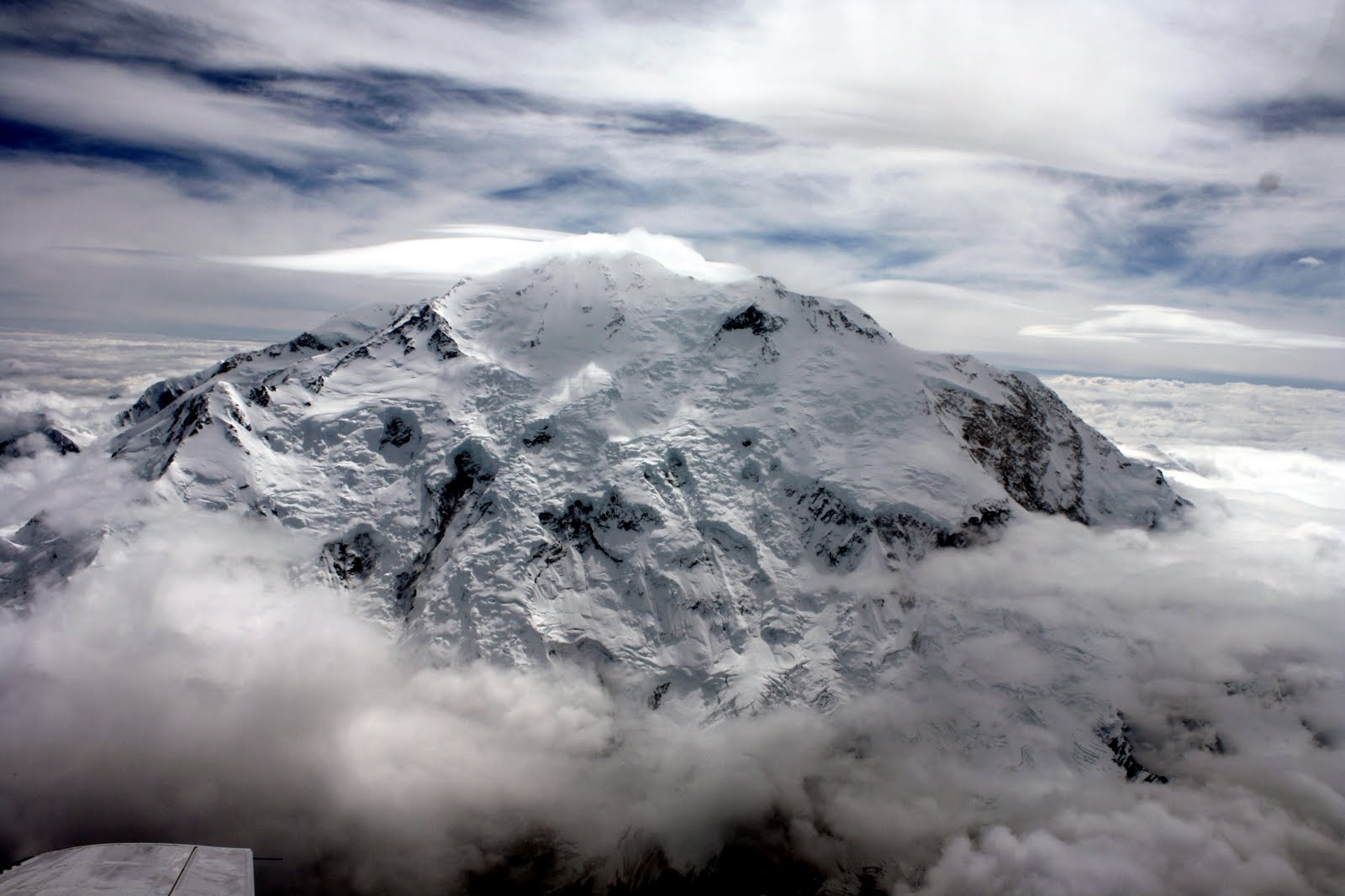
Our first glimpse of Mt. McKinley, which we learned is the federal name for the mountain. Alaska has officially adopted the Native American name for it, which is Mt. Denali. From left to right: Mt. Silverthrone; Mt. McKinley, north peak at 19,470 feet and south peak at 20,320 feet; Mt. Hunter; Mt. Crosson; and Mt. Foraker


Closer in:


Lenticular (flying saucer or lens) clouds, one over the south peak:


Fluting:


Don Sheldon Amphitheater:


Don Sheldon Mountain House and outhouse at 6000 feet:


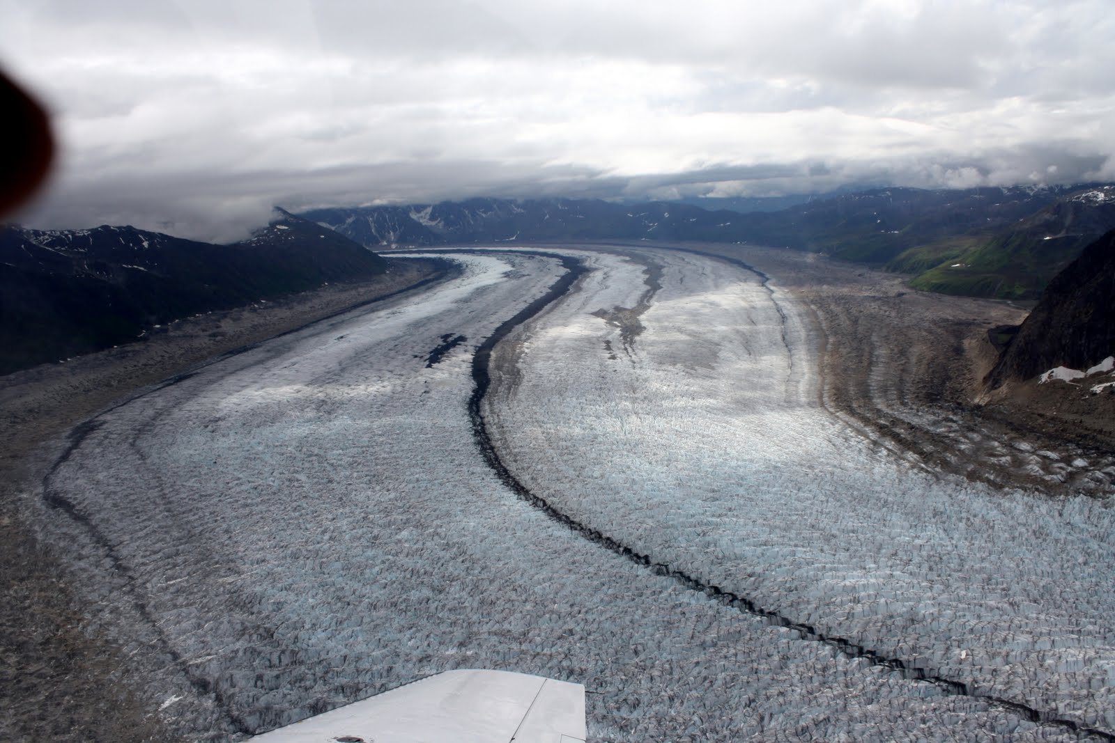
Hanging glacier above Ruth Glacier:


Ruth Glacier:


With our pilot and tour guide extraordinaire, Dave (Sue's stooping a little so we could all get in the picture; she's not quite that short):